Big Lollipop

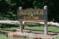
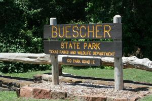
Entrance Sign
This is the entrance sign to the park.
User: Blaze - 4/28/2013

Location: Buescher State Park

Rating: 1point5stars
Difficulty: 1point5stars  Solitude: 3stars
Miles Hiked: 6.80 Miles  Elapsed Time: 2 hours, 12 minutes

Comments:

After the 2nd day group hike of McKinney Roughs, there was still a lot of daylight left so I decided to head over to Buescher State Park and hike the trail there solo.

The trail system is a 7.7 mile lollipop-shaped trail. The trailhead is well marked and there are a number of direction signs along the trail.  The main trail (blue trail) is the "stick" of the lollipop and the Pine Gulch Loop (red trail) forms the "lollipop", although there is a CCC Crossover Trail (yellow trail) that is a cutoff trail you can take if you want to hike a shorter loop.

My plan was to hike the blue and red trails.  Everything went according to plan, except on the way back in I inadvertently took a wrong turn onto an unmarked trail.  I was hiking briskly and didn't refer to the paper trailmap provided to me at the Park HQs, so I didn't realize I was off course until the unmarked trail dumped me out at a scenic overlook off Park Road 1C.  At that point, I looked at my GPS and noticed I was parallel to the blue trail so I hiked down Park Road 1C until I came to the Gas Line utility right of way clearing.  I took a left down the clearing until I was able to find another undocumented trail that led me back to the blue trail.  The end result of straying off course was I hiked a larger "lollipop" and almost a mile less distance. :(

Overall, the trail is nice.  There is a small pond along the red trail and it takes you through a nice wooded pine forest, but otherwise there isn't too much to see.  It is a nice escape for a few hours, though, and a did see a couple of white tail deer.


Log Photos
Entrance Sign
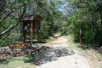
Trailhead
Wildflowers
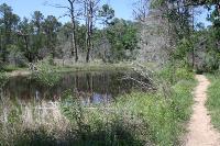
Pond
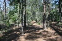
View Of The Trail
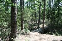
Another View Of The Trail